


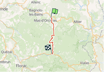

38 km | 47 km-effort


Utilisateur


Application GPS de randonnée GRATUITE
 SityTrail
IGN / Instituts géographiques
SityTrail World
Le monde est à vous
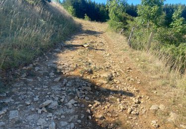
Randonnée Marche de 20 km à découvrir à Occitanie, Lozère, Mont Lozère et Goulet. Cette randonnée est proposée par DanielROLLET.
2020 09 20 - 08:10 à 15:30 compris arrêts et pause 11:50 à 12:20 à l'abri Nègre
Départ gîte Chez le Poulitou au Bleymard à l'hôtel restaurant Aux sources du Tarn au Pont de Montvert
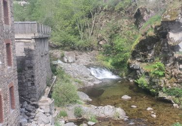
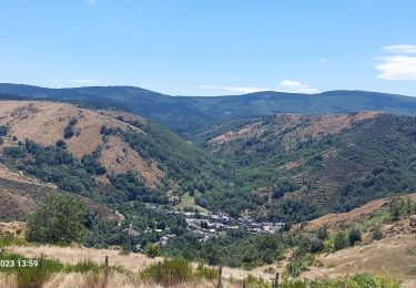
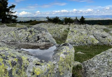
Temps couvert et frais

V.T.T.

Marche

Marche
Marche

Marche

Marche
Marche
Vélo électrique
V.T.T.